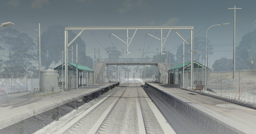
Narara Station
TAP

Project Summary
Client:
GHD
Brief Project Description:
The train station at the central coast town of Narara has been identified by the NSW Government as a recipient of a Transport Access Program (TAP) refurbishment. The new works will include improved access via two new elevators, a new car park and improved pathway approaches. The refurbishment is expected to be completed in 2023.
DSP’s involvement?
Providing a georeferenced point cloud from laser scan data not only allowed us to produce a detailed BIM model, but further permitted GHD to align the data in both Revit and Navisworks to ensure the accuracy of the data. DSP is providing ongoing survey services in the setting out and monitoring of construction.
How did DSP add value to the project? :
Leveraging our experience as an AEO supplier with our use of cutting-edge survey techniques and software, DSP was able to provide the client with the means to ensure their ongoing design process was founded on a solid platform of accurate data. Further DSP was able to meet the stringent Digital Engineering requirements of TfNSW to create the BIM model that will support the DE process through the life cycle of this asset.
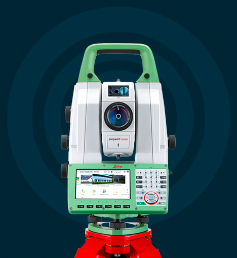
Technology & Capability
DSP are at the forefront of modern technology to capture field data, utilising the latest Leica and Trimble equipment to offer accurate and reliable results.
Such equipment includes high accuracy Total Stations with robotic operation, Laser Scanners, GPS with CORSNET capability, submillimetre digital Levels and data collection loggers for asset management/collection.
A professional suite of office software is employed for processing field data, from in-house developed least squares software and applications to commercial software packages such as Civilcad, 12d model, Bentley MX Road, Trimble Realworks, AutoCAD and Autodesk RECAP. DSP are able to offer a product to suit our clients’ needs.
With a fleet of vehicles compliant to the latest OH&S safety requirements, DSP can operate in all environments. All staff are trained and carry the relevant competencies including Rail Industry Worker, Rail Safety Worker, OH&S general induction for construction work, RMS Yellow Card and Substation Entry.
Let's talk
about your new project
Degotardi, Smith & Partners are consulting surveyors who specialise in small scale residential to large scale infrastructure projects. DSP continues to provide professional services from inception of project to completion.


Our company
DEGOTARDI, SMITH & PARTNERS
Consulting Surveyors
1/9-11 Bridge Street
Pymble 2073
NSW
Australia
PH / +61 2 9440 1100
EMAIL / surveys@degotardi.com.au