Topographic Surveys


Topographic Surveys
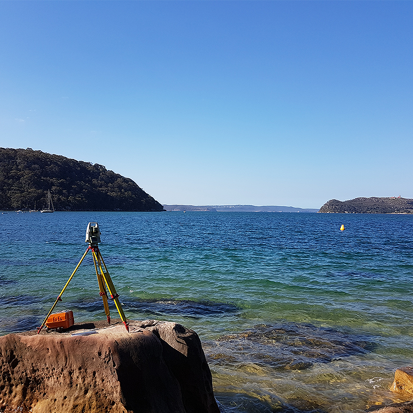
Topographic surveys are performed to assist in land development and analysis, whether it be for a design of new subdivision, drainage study, development application for council or a multitude of many other civil related projects.
Topographic Surveys
Topographic surveys are performed to assist in land development and analysis, whether it be for a design of new subdivision, drainage study, development application for council or a multitude of many other civil related projects.
Typically, a developer or designer will ask for a topographic survey of a parcel of land to show what features, natural or man-made are present. Most topographic surveys generally provide the vertical datum to Australian Height Datum (AHD) and the horizontal datum to either local (site) or state grid such as Map Grid of Australia (MGA).
Topographic survey plans will show details such as reduced levels (RL’s), contours, boundaries, easements, site areas, vegetation features, buildings, utilities (pits, valves, lids, vents etc.) and any other visible improvements on the land. Typically, discussions between the client and surveyor will exactly define the scope and amount of detail required to complete the survey.
DS&P can deliver the survey information in a variety of formats including 2D or 3D AutoCAD (.dwg), PDF, 12d, point cloud data (.rcp, pts, las, e57 formats).
Quality Assurance


DSP operates and maintains an Integrated Management System that has been externally audited by Global-Mark Pty Ltd and certified to comply with AS/NZS ISO 9001-2016: Quality Management Requirements, AS/NZS 4801-2001: Occupational Health and Safety Management Systems and AS/NZS ISO 14001- 2016: Environmental Management Systems. Ongoing external audits maintain our certification ensuring our staff implement and maintain an impeccable safety standard whilst providing clients with the highest quality products.
Technology & Capability
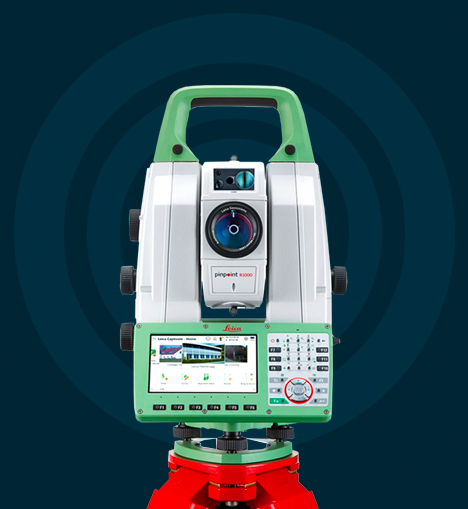
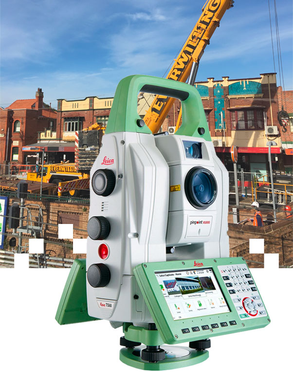
DSP are at the forefront of modern technology to capture field data, utilising the latest Leica and Trimble equipment to offer accurate and reliable results.
Such equipment includes high accuracy Total Stations with robotic operation, Laser Scanners, GPS with CORSNET capability, submillimetre digital Levels and data collection loggers for asset management/collection.
A professional suite of office software is employed for processing field data, from in-house developed least squares software and applications to commercial software packages such as Civilcad, 12d model, Bentley MX Road, Trimble Realworks, AutoCAD and Autodesk RECAP. DSP are able to offer a product to suit our clients’ needs.
With a fleet of vehicles compliant to the latest OH&S safety requirements, DSP can operate in all environments. All staff are trained and carry the relevant competencies including Rail Industry Worker, Rail Safety Worker, OH&S general induction for construction work, RMS Yellow Card and Substation Entry.
Technology & Capability
DSP are at the forefront of modern technology to capture field data, utilising the latest Leica and Trimble equipment to offer accurate and reliable results.
Such equipment includes high accuracy Total Stations with robotic operation, Laser Scanners, GPS with CORSNET capability, submillimetre digital Levels and data collection loggers for asset management/collection.
A professional suite of office software is employed for processing field data, from in-house developed least squares software and applications to commercial software packages such as Civilcad, 12d model, Bentley MX Road, Trimble Realworks, AutoCAD and Autodesk RECAP. DSP are able to offer a product to suit our clients’ needs.
With a fleet of vehicles compliant to the latest OH&S safety requirements, DSP can operate in all environments. All staff are trained and carry the relevant competencies including Rail Industry Worker, Rail Safety Worker, OH&S general induction for construction work, RMS Yellow Card and Substation Entry.
Let's talk
about your new project
Degotardi, Smith & Partners are consulting surveyors who specialise in small scale residential to large scale infrastructure projects. DSP continues to provide professional services from inception of project to completion.


Our company
DEGOTARDI, SMITH & PARTNERS
Consulting Surveyors
1/9-11 Bridge Street
Pymble 2073
NSW
Australia
PH / +61 2 9440 1100
EMAIL / surveys@degotardi.com.au